Drone-derived maps offer cost savings
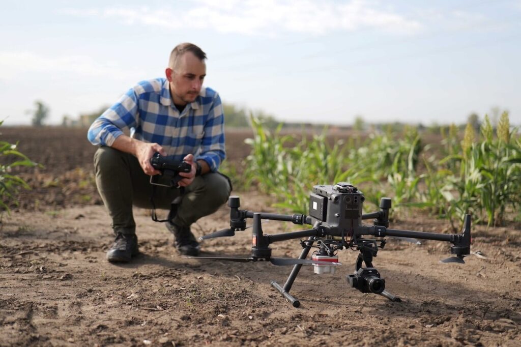
Unlike satellite images, which are weather-dependent, drone images are reliable, offering precise maps for variable rate application of fertiliser, fungicide and growth regulator; CultiWise drone also launched; Up to 20 percent cost savings and return on investment in first season Farmers now have a more reliable overview of their spray maps for fungicide, fertilisers … Continue reading Drone-derived maps offer cost savings